SOMEthing to THINK about
The world, the old seafarers, like Columbus, discovered, was much larger, than they had thought and prepared for.
This was caused, by the maps, they based there journeys on. Those maps came from the East (Constantinople) and were of Arabic origin. These cartographers drew their maps according to the “Arabic mile”, who was much longer, than the mile Columbus had in mind.
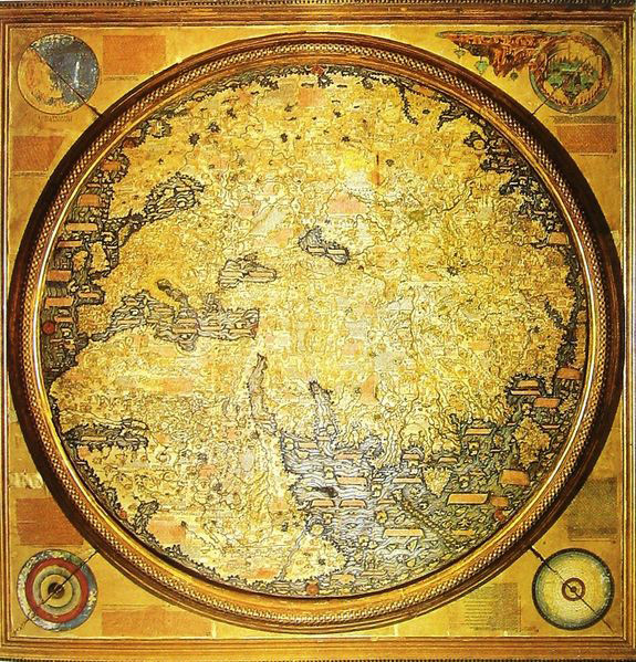
Mappo Mundi, drawn by Fra Mauro, 1859
Geen opmerkingen:
Een reactie posten